
Explore Haddon Heights through interpretive signs and historic homes. Select a tile to learn more.
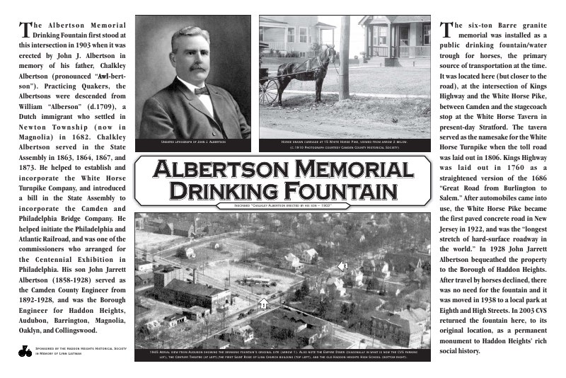
Albertson Memorial FountainWhite Horse Pike and Kings Highway.

Col. Joseph Ellis House1009 Sycamore Street. Jacob Hinchman built the original post-and-beam frame house circa 1720. Col. Ellis built the Georgian addition circa 1760.
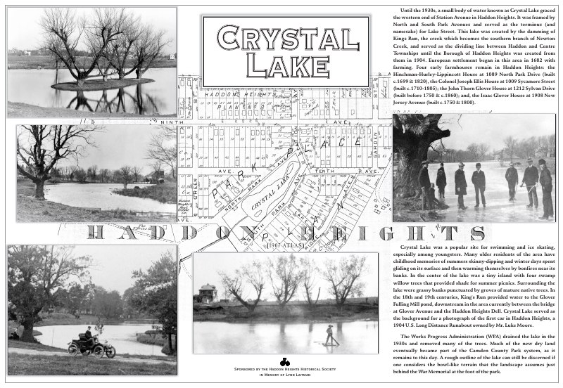
Crystal LakeCamden County Park at the War Memorial cannons.
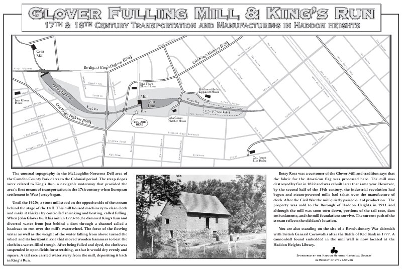
Glover Fulling MillOriginal sign at the old DPW site.
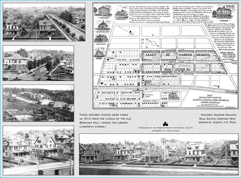
Haddon Heights Map & Aerial View608 Station Avenue at the Library.
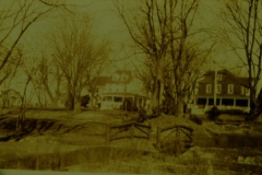
Hinchman-Hurley-Lippencott House1089 N. Park Drive. Built in 1699 and enlarged in 1705 by John Hinchman. James Hurley added the classical addition circa 1800.
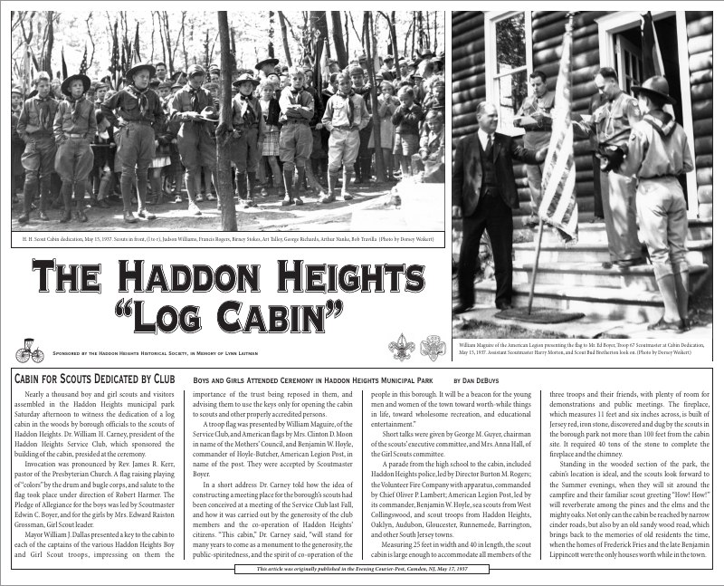
Log Cabin600 Lippincott Lane, across from the Community Center and the new DPW back gate.
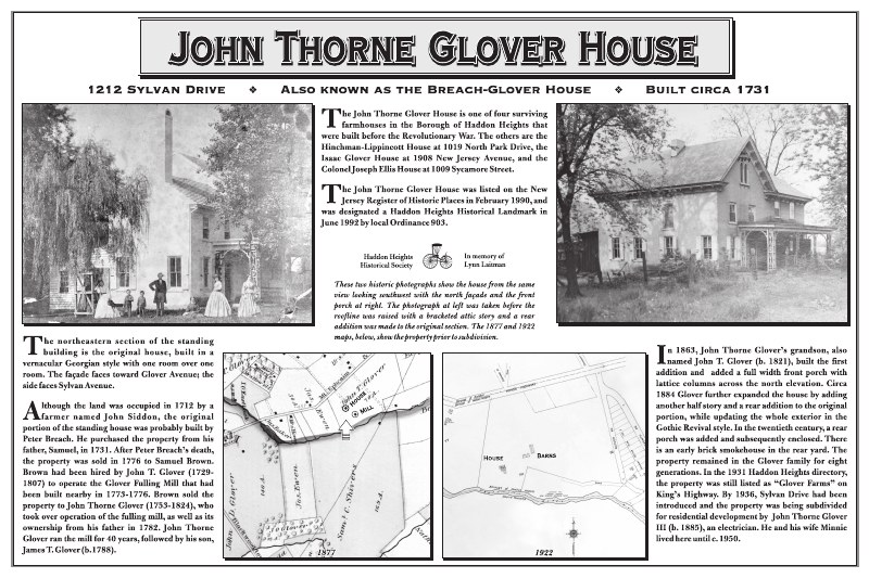
John T Glover House1212 Sylvan Drive. John Siddons built the original one-over-one-room Victorian-style dwelling in 1713; John T. Glover enlarged it in 1800 and again in 1850.
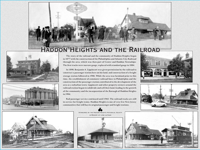
RR Train & Freight StationStation and W. Atlantic Avenues.
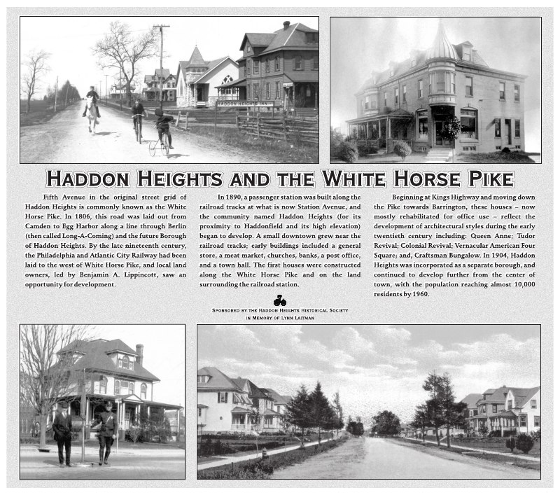
White Horse PikeWhite Horse Pike and Station Avenue.
Isaac Glover House1908 New Jersey Avenue. The eastern section was built circa 1750, facing the original route of the King’s Highway. Isaac was probably responsible for the matching brick addition in 1774.
Additionally, using 1904 as the date of the Borough’s incorporation, property owners have purchased 12 historical Centennial Home markers out of 217 total Centennial Homes.
Continue exploring
In this collection
Albertson Memorial Sign Location View this location on Google Maps ↗ Sign Albertson-Memorial-Fountain-sign1 Open full size in new window ALBERTSON MEMORIAL FOUNTAIN The…
Col. Joseph Ellis HouseCol Joseph Ellis House Sign Location View this location on Google Maps ↗ Sign Colonel-Joseph-Ellis-House-sign-35x21-high-quality Open full size in new window
Crystal LakeCrystal Lake Sign Location View this location on Google Maps ↗ Sign CC-Park_Crystal-Lake-sign Open full size in new window Crystal Lake and King’s Run Until the…
Glover Fulling MillGlover Mill Sign Location View this location on Google Maps ↗ Original Mill Sign Location View this location on Google Maps ↗ Sign fulling-mill-sign Open full size in…
Glover Fulling Mill – Original SiteOriginal Mill Sign Location View this location on Google Maps ↗ Sign Glover-Fulling-Mill-Kings-Run_Transportation-and-Manufacturing_The-Dell Open full size in new window
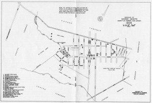
Haddon Heights Map & Aerial ViewHaddon Heights Sign Location View this location on Google Maps ↗ Sign map-aerial-views-sign-rev Open full size in new window
John T Glover HouseInterpretive sign for the John T Glover House at 1212 Sylvan Drive.
Log CabinScout Cabin Sign Location View this location on Google Maps ↗ Sign Haddon-Heights-Cabin-sign Open full size in new window Cabin For Scouts Dedicated by Club: May 17,…
The Letterlettersign Historical Markers in HH 2019a
Town LayoutHaddon Heights Sign Location View this location on Google Maps ↗ Sign Haddon-Heights-Zoning-Map_1995 Open full size in new window
Train StationTrain Station Sign Location View this location on Google Maps ↗ Sign RR-Station-Ave-sign-rev Open full size in new window
White Horse PikeWHP Sign Location View this location on Google Maps ↗ Sign WHP-sign-curves Open full size in new window HADDON HEIGHTS AND THE WHITE HORSE PIKE Fifth Avenue, in the…