Skip to content
HADDON HEIGHTS, NEW JERSEY
Remembering yesterday for the people of tomorrow
↗
Haddon Heights
HISTORICAL SOCIETY
Search the archive
Become a member
↗
Menu
☰
Home
Calendar
⌄
Discover Haddon Heights
Explore calendar
→
Upcoming Events
History
⌄
Discover Haddon Heights
Explore history
→
Borough
Historic Preservation
75th Anniversary (1979) Interviews
Projects
Interpretive Signs
Albertson Memorial Fountain
Col. Joseph Ellis House
Crystal Lake
Glover Fulling Mill
Haddon Heights Map & Aerial View
The Letter
Log Cabin
John T Glover House
Town Layout
Train Station
White Horse Pike
Mayors
Organizations
Fire Department
First Presbyterian Church
Haddon Glen
High School
Football
Newspaper Clippings
The Scribe Newspaper
Yearbooks
St. Rose of Lima
Vagabond Band
Town Gallery
Town Maps
Society
⌄
Discover Haddon Heights
Explore society
→
About
Founders’ Minutes
Newsletters
Officers
Past Events
Battle of Gloucester Presentation
Schuylkill River Tour
Membership
Merchandise
Links
Contact Us
All collections
↗
Home
/
Maps
/
Additional Maps
Explore our history
Additional Maps
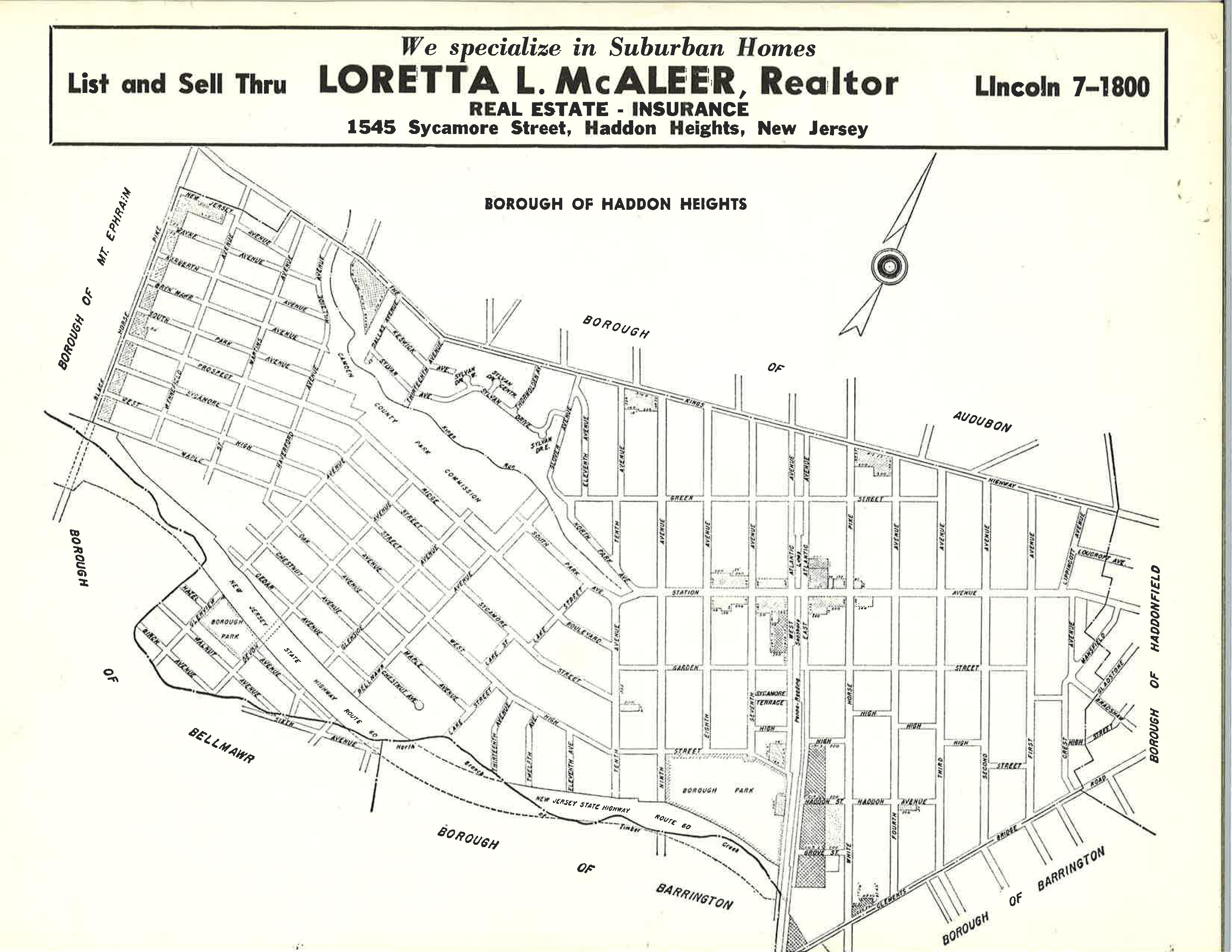
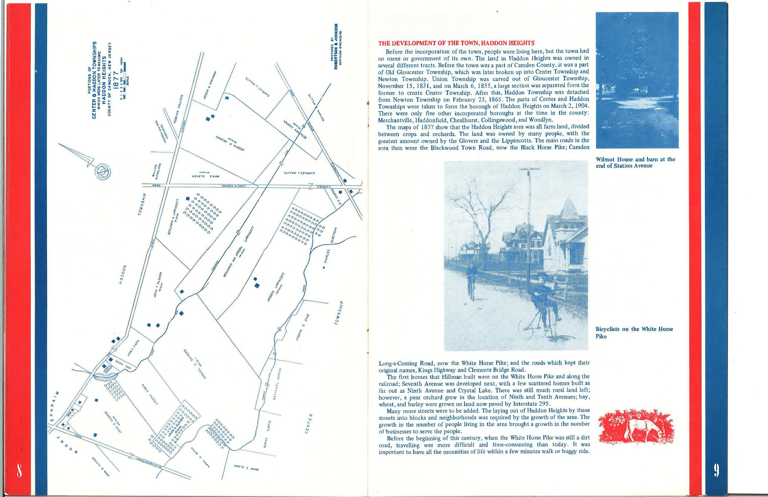
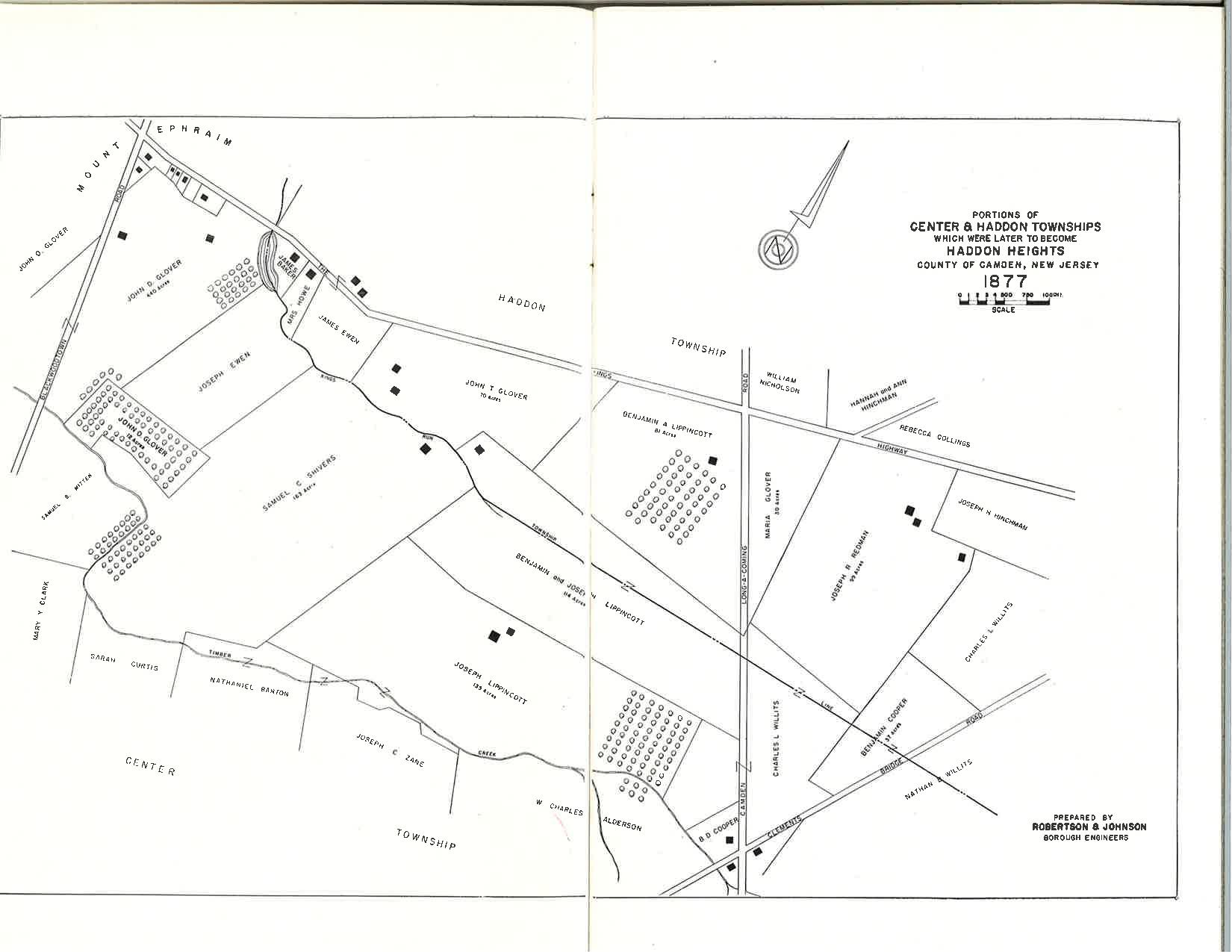
Additional maps depicting the Haddon Heights area circa 1877 (added 2021).
Close ×
←
→
Open full-size image ↗